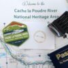
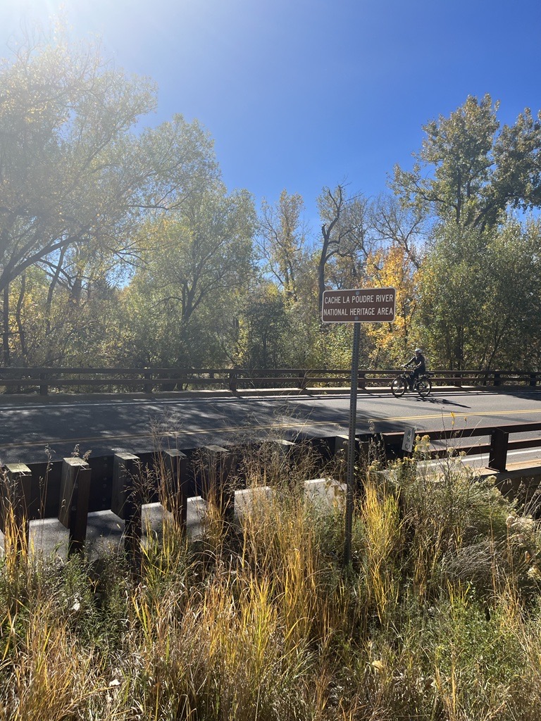
We see signs announcing the Cache la Poudre National Heritage Area when we drive across bridges over the Poudre River and along the Poudre Trail by irrigation ditches. What is a national heritage area? Why is there one along the Poudre River? What does the heritage area encompass?
First, let’s define a National Heritage Area. According to the National Park Service, that oversees National Heritage Areas:
National Heritage Areas are places where historic, cultural, and natural resources combine to form cohesive, nationally important landscapes. Unlike national parks, National Heritage Areas are large lived-in landscapes. Consequently, National Heritage Area entities collaborate with communities to determine how to make heritage relevant to local interests and needs.
National Park Service. 1990. Proposed Cache la Poudre River National Heritage Corridor: Resource Assessment.
In 1984, the first National Heritage Area, Illinois and Michigan Canal National Heritage Area, was signed into law by President Ronald Reagan. In his dedication speech, Reagan referred to National Heritage Areas as “a new kind of national park” that married heritage conservation, recreation, and economic development.
The Cache la Poudre landscape was examined by the National Park Service, in 1990, for consideration as a National Heritage Corridor. This study was requested by Fort Collins and considered only that portion of the Poudre near Fort Collins. The recommendations of the study suggested a broader definition of the area covered and, eventually, led to Congress, under the leadership of Senator Hank Brown, establishing the Cache la Poudre River National Heritage Corridor in 1996.
Implementation of the legislation ran into problems regarding who appointed the Board to oversee the Heritage Area. This problem was not corrected by Congress until 2009. A Management Plan was prepared in 2013 and the Cache la Poudre River National Heritage Area became a fully funded, and, thus, functioning, National Heritage Area at that time.
The Cache la Poudre River National Heritage Area’s ‘landscape’ includes the 100-year flood plain of the river from, roughly, the mouth of the Poudre River Canyon, northwest of Bellvue, to the mouth of the river, east of Greeley. National Heritage Area designation does not affect private property rights.
References:
National Park Service. 1990. Proposed Cache la Poudre River National Heritage Corridor: Resource Assessment. Study funded by City of Fort Collins. (https://archive.org/details/resourceassessme00nati) [Appendix B of this document is an excellent overview of the water history behind establishment of the Cache la Poudre River National Heritage Area.]
Information Source: These stories were prepared by Robert C. Ward, a professor and administrator at Colorado State University for 35 years, to assist in training volunteers on the history behind designation of the Poudre River as a National Heritage Area. [In particular, the information permits water history-related sites along the Poudre River to be explained through the lives of people who adapted their use of water to match the semi-arid nature of the landscape.]