40.598028, -105.079972
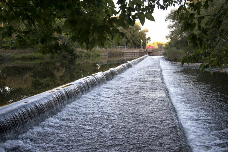
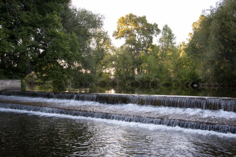
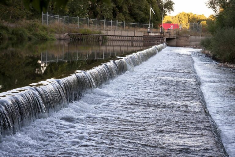
The Lake Canal, also known as the Eaton and Abbott Canal, was built in 1873 to supply irrigation water to the newly established Fort Collins Agricultural Colony. In 1873, the colony hired John C. Abbott, a former member of Union Colony (and future State Auditor) and B.H. Eaton, an experienced homesteader (and future Governor of Colorado), to build their ditches. That year the two men supervised the building of the Lake Canal and Larimer County Canal #2, both of which originated upriver from Greeley’s two canals. Though each of these facilities diverted less water than the Greeley #2, they had the combined capacity to divert the entire volume of the river, in years of low run-off or late in the summer, as the river’s flow began to recede.
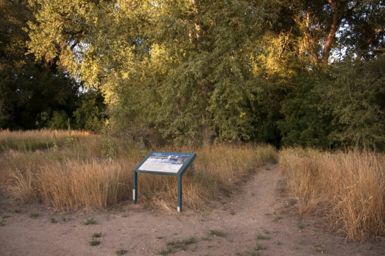
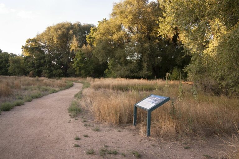
Being uppermost on the river, Fort Collins irrigators received ample water during the drought of 1874. At the same time, Greeley farmers were struggling to get any water. Greeley and Fort Collins confronted each other at the Eaton School on July 15, 1874. Greeley irrigators claimed a prior right to the water of the Poudre River, as their canals predated the upstream diversions by more than two years, while the Fort Collins irrigators wanted a water commissioner to divide the water according to the greatest need. At the July 15th meeting, no settlements were reached, but the Fort Collins group consented to lower their headgates and release more water downstream. The events of 1874 in the Poudre River Valley led the effort to create the system of water management that has since prevailed throughout the Western United States. This system, known as the Doctrine of Prior Appropriation, or “first in time, first in right,” dictates that the person or irrigation company who first claimed water from a river is the first person to receive the water from the river regardless of need. Weld County irrigators lobbied to include the doctrine in the 1876 Colorado Constitution. A Heritage Area interpretive sign can be viewed on the Hickory Trail at this site.
Recently, the headworks have been extensively modernized with remote monitoring and control, which means this canal is still functioning over 140 years since it was built.
Accessibility
Accessible.
Wayside Sign
GPS for sign: 40°35’52.2″N 105°04’49.1″W
Directions
Poudre Trail – From Lee Martinez Park, head north to reach the Poudre Trail. At the Natural Areas kiosk north of Lee Martinez, head east on the Poudre Trail and then continue west onto the dirt Hickory Trail. You will see a CALA interpretive wayside sign along the edge of the trees. The trail behind the sign leads to the Lake Canal diversion structure. Alternate: The Lake Canal headworks and canal is best viewed from Legacy park, which is on the north side of the Poudre River. From Legacy Park, turn south reach the river overlook.
