
At this land, that was our homeland... This place was sacred to us... We love this land."

Crawford WhiteNorthern Arapaho Elder

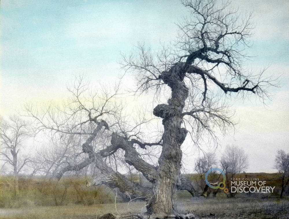
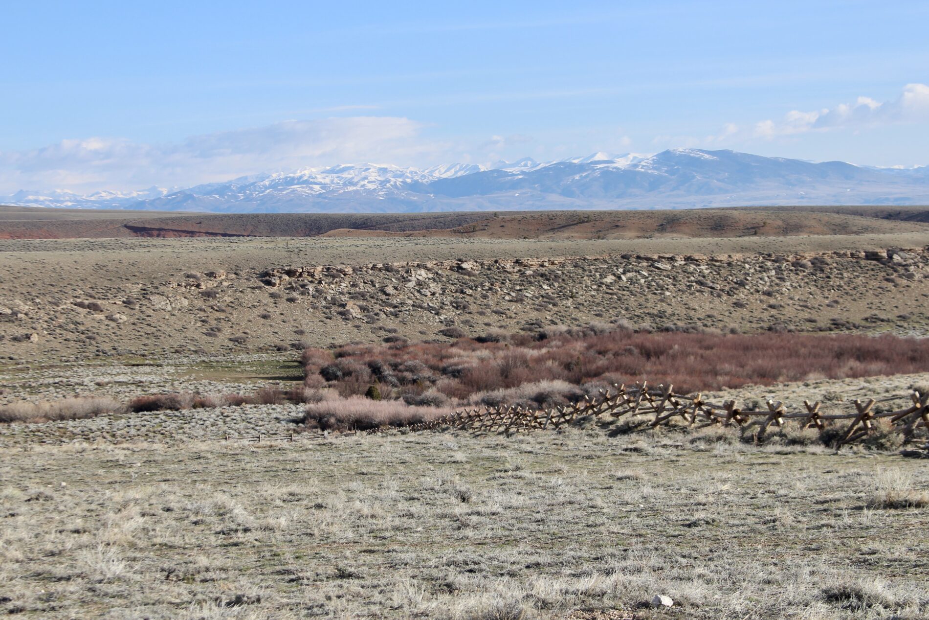
Long ago, in this place, water flowed down from the snowcapped Rockies, tumbling through a canyon before emptying out on vast plains. A river, one of many, sustained life. Cottonwoods grew along its banks and chokecherry bushes blossomed, producing ripe purple berries later in the summer. Birds flocked and fish jumped.  Muskrat, beaver, foxes, coyotes, rabbits, and squirrels scurried along the river’s banks for a drink. Deer and elk watched from the bends. Bison, even, roamed beside it as it flowed through prairie grasses, meandering toward a greater river. And people splashed, laughing as they crossed the river, gathering its water in skins or sealed baskets.

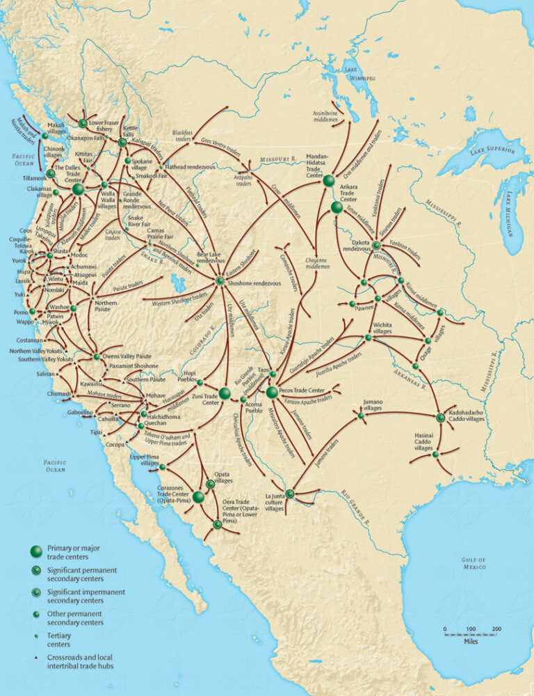
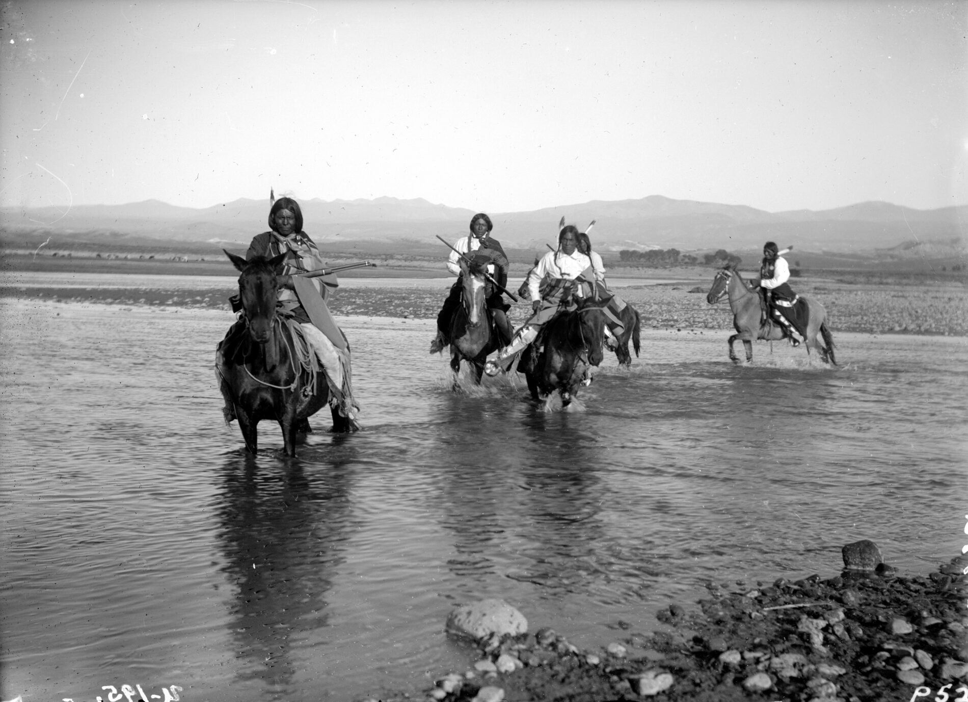
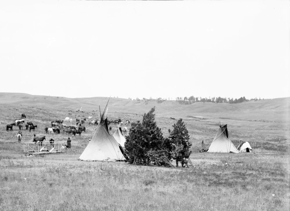
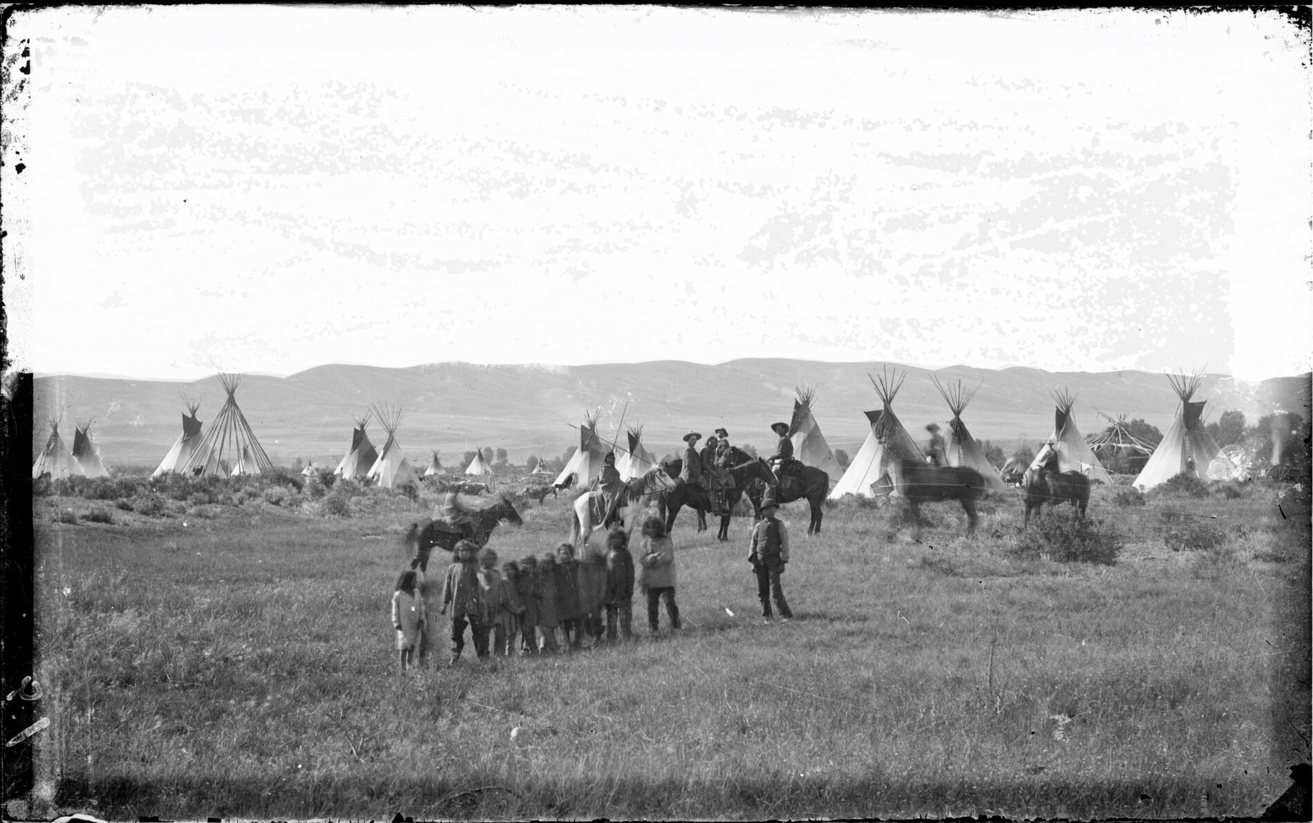
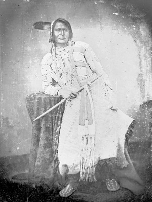
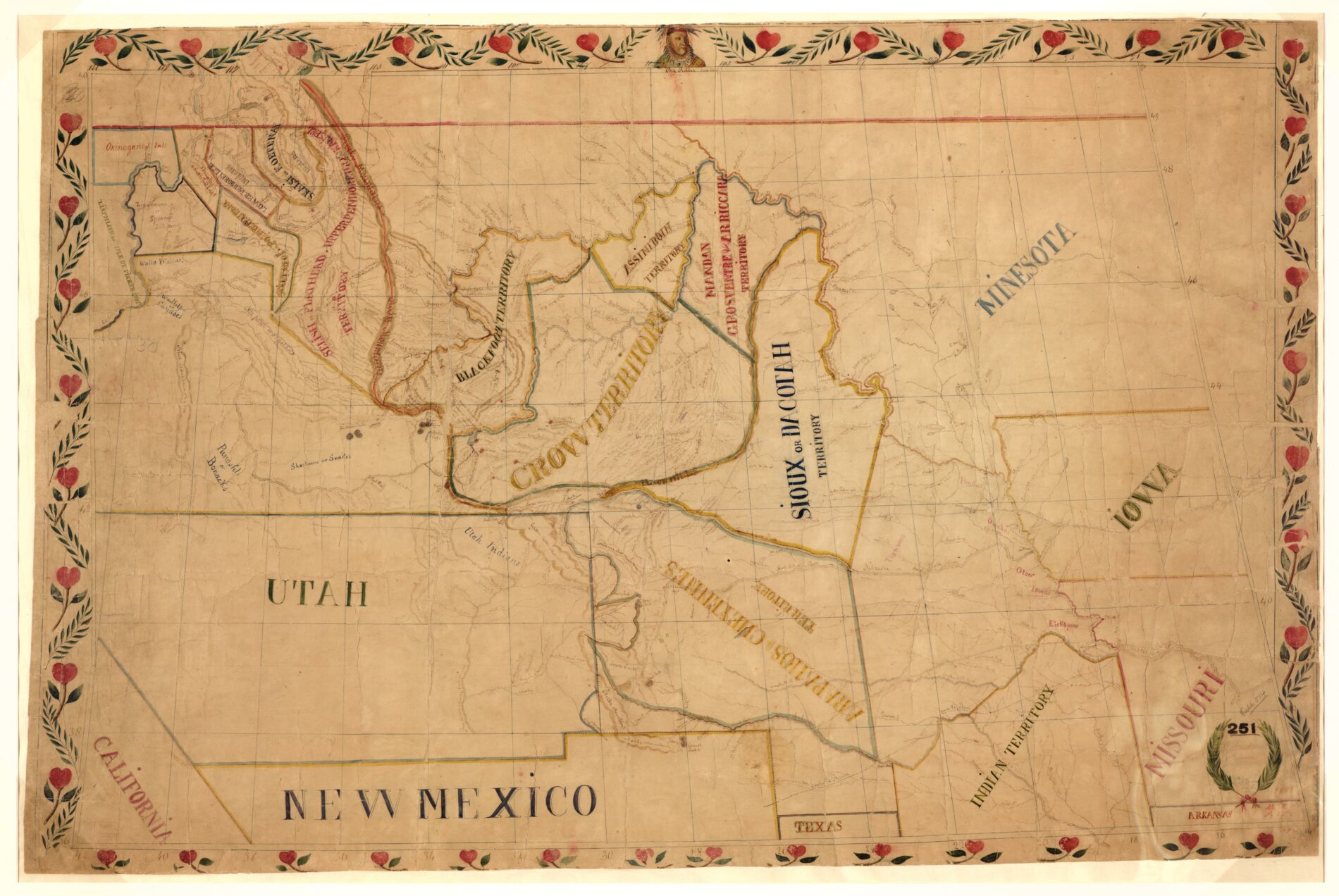
The land we now call the Cache la Poudre River watershed has long been the Homeland of many diverse groups of people. But long before the river was called by that name it had others, in many languages, as it guided and sustained many tribes and nations. People have been drawn to the Poudre River for over 12,000 years, Ancient People—the Ancestors or Ancient ones—lived and traveled here (you can read more here). Their diverse descendants also made their homelands across large amounts of the foothills, mountains, and plains of this region including the Hinono’eiteen (Arapaho), Tsis tsis’tas (Cheyenne), Nʉmʉnʉʉ (Comanche), Caiugu (Kiowa), Čariks i Čariks (Pawnee), Sosonih (Shoshone), Oc’eti S’akowin (Lakota) and Núuchiu (Ute) Peoples.

Do you know who occupied this land before you? Who lived, worked, died, and thrived along the rivers, mountains, and plains before this land was colonized, and who are still here despite all odds?

Native groups in Colorado were part of greater trade networks stretching across the continent long before European arrival.

Diverse & Connected Peoples

Just as there is no one “Native American” history of North America, there is no one singular “Native American” history of the Poudre region. At least 48 sovereign nations have lived, at times, in the whole land we now call Colorado. Not all called Northern Colorado home, but all would have been aware of their neighbors here—whether through trade, alliance, conflict, or simply stories and news shared by closer tribes. These tribes were far from isolated communities or groups, rather, long before European contact, Indigenous Peoples throughout the Americans were part of extensive trade networks. These networks moved people, goods, services, and ideas over hundreds of miles, and tribes along the Rockies played key roles in connecting goods north, south, east, and west. These tribal trade networks are well documented in oral history, archaeology, and written history (upon European contact)—such as marine shells from both east and west coasts found across the continent, including in Colorado. Each sovereign nation had their own history, language, beliefs, traditions, and ways of being. Though you will find brief histories below of three of the main tribes that called the Poudre home, we encourage you to continue learning outside of this page, especially utilizing sources that are created by or in collaboration with Native individuals, tribes, or groups.

The Núuchiu (Ute)

The Núuchiu, or Ute as they became called by the United States, are one of the oldest groups to move in and out of the Poudre Region, inhabiting vast parts of the West for over 2,000 years. In our area, the land we call Estes Park, was favorite summer camping ground. Like all tribes in the Poudre Region, the Ute historically were a nomadic people, moving from place to place choosing the best camping locations for the season, harvest, or hunt. Like all nomadic people, the Ute possess incredible traditional ecological knowledge—knowledge of the plants, animals, and landscapes. Utilizing plants that you may today pass on your hikes—Pinon, Ponderosa, Chokecherry, Yucca, Juniper, Spring Beauty, Amaranth, and more—to sustain a way of life. (Fun Fact: A pound of inner Ponderosa Pine bark contains as much calcium as nine glasses of milk).

Even prior to the horse, the Utes established close relationships with the ecosystem, camping in familiar sites and traveling vast distances on well established routes such as the Ute Trail which can still be seen on the Grand Mesa and the forerunner of the scenic highway between South Park and Cascade. Divided into large bands that would break into smaller, mobile family units, the Utes were a large, connected people.

Today there are seven Ute bands split amongst three federally recognized tribes.

Ute scout party on horseback crossing the Los Pinos River, Lla Plata County, Colorado. C1899. Denver Public Library Collection.

The Tsis tsis’tas (Cheyenne)

View of camp of Cheyenne leader, American Horse. 1889. Montana State Library. P0000883.

The Tsis tsis’tas, or Cheyenne as they became called by the United States, were originally located in the Great Lakes region, however, white expansion pushed them westward and they relocated and established a hunting territory stretching between the forks of the Platte River lands that include portions of what are today Nebraska, Colorado, and Wyoming—including the land of the Cache la Poudre River. At its peak, Cheyenne territory stretched from Montana to Texas, including portions of Oklahoma and the Dakotas, although the Cheyenne were not the only inhabitants of this land.

Like the Ute, the Cheyenne were a nomadic people, using their knowledge and connection with the land to sustain them. The Cheyenne formed close connections to the Bison, a key resource, but also spiritually important to the Cheyenne—there are accounts that describe the bison helping warriors during battle.

The Cheyenne formed a close alliance with their neighbors, the Hinono’eiteeen or Arapaho, with whom they shared much of their territory and a common heritage and ancestral language. Sites along the Poudre and its neighboring river, the Big Thompson, were known to be favorite camping spots of the Northern portions of both tribes.

Today, there are ten Cheyenne bands and two distinct Cheyenne Nations, one in Montana (Northern) and one in Oklahoma (Southern).

You can learn more about the Ute from these resources:

The Hinono’eiteen (Arapaho)

The Hinono’eiteen, or Arapaho as they became called by the United States, were originally located in the Great Lakes region, however, white expansion pushed them westward and they relocated in the 1700s and established a territory across vast portions of Colorado, Wyoming, Kansas, and Nebraska—land they shared with other nations. In this region they split into two connected Arapaho people—Northern (generally inhabiting land north of the South Platte) and Southern (generally inhabiting land south of the South Platte, including the Denver area).

Like their neighbors, the Arapaho were nomadic people, moving from place to place as seasons and resources demanded, utilizing extensive knowledge of ecosystems to thrive. In particular, several bands of the Northern Arapaho favored the Poudre region camping throughout what is now the Cache NHA from Greeley to the canyon. Their presence today echoed in names of various locations, including Arapaho Bend Natural Area in Fort Collins (a favorite camp location) and the Council Tree area. The Council Tree, a real cottonwood tree, once stood in the area and various bands, both Arapaho and Cheyenne, would meet to discuss, plan, share, learn and bargain.

Arapaho camp in Wyoming. Baker and Johnston Photographs. 180400. University of Wyoming, American Heritage Center.

Image of Council Tree from Colorado Mountain Club lantern slide. Archive at the Fort Collins Museum of Discovery, COMT-1_004.

While the Arapaho forged a strong alliance with their neighbors the Cheyenne, the Arapaho and Ute were generally hostile towards each other, likely because both groups moved in the mountains and foothills, causing conflict over territory and resources.

The Northern Arapaho have retained strong ties to the Poudre, with many contributing to oral history projects with the Cache NHA over the last several years. You can hear more about their ties to this land, their perspectives, and stories directly from some of their elders here.

You can learn more of the Northern Arapaho’s story below. Today there are two Arapaho Nations, one in Wyoming (Northern) and one in Oklahoma (Southern).

Horse Creek Treaty

Since the 1830s fur traders, mountain men, missionaries, early settlers, and the U.S. Army had been moving through and into western lands, territory of diverse tribes and nations. Many Euro-American had begun pushing for negotiations with Native nations, and in 1851 Congress authorized holding a treaty council with Plains Nations at Fort Laramie in modern Wyoming, mostly to ensure peaceful relations along the Overland Trails. In a clear demonstration of Plains people’s desire to live in peace and retain their lands, more than 10,000 Native Americans (men, women, and children) from multiple tribes gathered forcing a move to Horse Creek (Fort Laramie was to small). However, not all plains nations attended—the Comanche, Kiowa, and Apache were absent.

On September 17, 1851, a treaty was signed between the U.S. Government and many (but not all) Plains Nations with a stated intent to maintain “good faith and friendship in all their mutual intercourse, and to make an effective and lasting peace.” The treaty divided land amongst the attending nations and recognized this land belonged to sovereign Native Nations. In return the Native nations agreed to let the U.S. government establish roads and military posts (notice, not open for private settlement).

This peace and land recognition did not materialize as the U.S. Government broke promises and treaties.

Treaty between the United States and the Souix, Cheyenne, Arapho, Crow, Assiniboin, Gros Ventre, Madan and Arikara Indians at Fort Laramie, Indian Territory. 1851. National Archives. 12013686

Settler Colonialism & the Northern Arapaho Along the Poudre

By the mid-1860s, the town of Laporte had been established by French-American/Canadian trappers and interpreters, the Overland Trail Cutoff crossed through the region, and a U.S. Army Post (Camp Collins) had been established along the Poudre. The region had also seen an increased interest among “settlers” and several had settled down, building homes and beginning what would later become a vast irrigation network.

Portrait of Arapaho Leader Friday. 1869. Smithsonian National Anthropological Archives.

The Poudre had long been favorite hunting and camping ground of several Northern Arapaho bands, most  notably a band lead by Chief Friday or Warshinun. Warshinun had been separated from his band as a young boy and raised by a trapper before being reunited with his people as a young man. Because of his background, Warshinun spoke English and frequently served as an interpreter and liaison with white settlers in the area.

As the 1860s moved on, Warshinun and his people watched as more and more Euro-Americans flooded an area they perceived as “unused” (but was far from so), destroying the bison herds the Arapaho and others relied on and disrupting ways of life that had stood for hundreds of years. The Arapaho had legally reserved their claim to vast amounts of land that included the Poudre in the 1851 Horse Creek Treaty, but in the last decade the land had become coveted by Euro-Americans. The U.S. Army and territorial governments, ignoring Native right to the land, both allowed and encouraged settlement. Unlike their Southern kin, the Northern Arapaho and Northern Cheyenne had not signed away their right to the land (1861 Treaty of Fort Wise) leaving their bands —including Chief Friday—to advocate for their claim.

As the land along the Poudre began to fill up with squatters, Chief Friday’s band and a few others remained in their homeland, established friendly relationships with the new neighbors while also advocating for a reservation for the Northern Arapaho along the Cache la Poudre—land they had been guaranteed in 1851. Indian Agent Simeon Whiteley, however, considered the Northern Arapaho’s proposition unacceptable as the land they requested for their reservation bordered the Overland Trail and contained sixteen squatter families who were already building homes and farms (he conveniently ignored the fact that these families were technically illegally occupying the land). The territorial government of Colorado rejected Friday’s request.

Removal from the Poudre

The story of forced systematic removal from their Homelands is not unique to the tribes of the Poudre River. With the discovery of gold in 1858 near Denver (where several Cheyenne and Arapaho bands traditionally wintered) and increased interest in “homesteading” along the Front Range, confrontation between white invaders and the Arapaho and Cheyenne who legally held the land intensified. In 1864, in the aftermath of the Sand Creek Massacre—in which an encampment of peaceful Cheyenne & Arapaho (mostly women and children) was brutally murdered by the U.S. Army—conflict between Native Americans and Euro-Americans increased throughout Colorado and Wyoming, although the area directly along the Poudre remained relatively peaceful. During this period “friendly” bands were ordered to military camps to protect them from government reprisals against “hostile” groups. Still advocating for a reservation, Warshinun’s band of Northern Arapaho along the Poudre complied, continuing to live near the Army post at Camp Collins. During this time, local sources noted this band was seen camping at various locations including near the mouth of Dry Creek, on the Coy farm near present-day Mulberry & Lemay, and the Frederick William Sherwood ranch 4.5 miles southeast of downtown Fort Collins, near present day Arapaho Bend Natural Area. Other bands frequently joined Warshinun’s including bands of Cheyenne, allies of the Arapaho.

In 1867 and 1869 treaties were signed with the Southern Arapaho and Southern Cheyenne granting them a joint reservation in “Indian Territory”—present day Oklahoma. Most Southern Arapaho and Southern Cheyenne were removed to this reservation by 1870. Attempts to protect and remain on their homelands continued by the Northern Cheyenne, including participation in the Battle of Little Big Horn in 1876. Following this successful battle many Northern Cheyenne were pursed by the U.S. Calvary. By 1877 most had been forced to move to Oklahoma to live with the Southern Cheyenne. After experiencing the poor conditions in Oklahoma, several Northern Cheyenne bands attempted to move back north in 1879, however, they were captured and taken to Fort Robinson, Nebraska where they were confined over the winter without food, water, or heat—escapees were re-captured and killed. Due to overcrowding, in 1880 the Northern Cheyenne were released to settle along the Tongue River in southeast Montana. In 1884 an Executive Order officially created the Northern Cheyenne Reservation in southeast Montana along the Tongue River.

By 1869, the Northern Arapaho under Friday’s leadership had been denied a reservation along the Poudre due to the presence of settlers—legally squatters—in the area they had requested. The Northern Arapaho had not signed over their land from the Horse Creek Treaty in any new treaties, however, it was soon to be officially (and technically illegally) opened to homesteading. This left the Northern Arapaho without a reservation.

Map of the upper Great Plains and Rocky Mountains region showing the territories of various North American Indian tribes. Created by Pierre-Jean De Smet, 1851. Library of Congress.

In 1878, the Northern Arapaho agreed to move to the Wind River Reservation of the Shoshone, their traditional enemies, in central Wyoming until a suitable location for their permanent reservation could be found. Many Shoshone and Arapaho opposed this move as the two are traditional enemies, however, the Northern Arapaho had little choice. They were promised it was a temporary move until a suitable reservation location could be found. This promise was never fulfilled. In 1878, Wind River became the Northern Arapaho’s permanent reservation alongside the Shoshone—this results in conflict even through the present day, and the Northern Arapaho were forced to purchase their own reservation.

Wind River Reservation. U.S. Fish and Wildlife Service.

In 1868, due to increasing white interest in Colorado following the discovery of gold in 1859, the Ute were officially pushed to the western side of Colorado through a treaty. The treaty spelled out that the western half of Colorado would belong to the Ute people forever and for always along with sacred grounds in Utah. In 1873, after illegal miners discovered silver in the San Juan mountains (Ute territory), the U.S. government removed the San Juan Mountains from the original Ute territory through the Brunot Agreement (the Ute retained hunting rights). In 1878, Nathan Meeker (a founding member of Union Colony, today Greeley inside the Cache NHA) was appointed by the U.S. Government to be the Indian Agent for the Ute at White River Agency. Meeker was a strong proponent of a philosophy that would later be summed as “kill the Indian, save the man.” He determined he would force the Ute to “settle down” and take up agriculture, a lifestyle in opposition to both Ute traditions and desires. Tensions between Meeker and the Ute escalated when Meeker moved agency headquarters to a  pasture used by the Ute for horse grazing and racing (a strong tradition in Ute culture). Meeker’s condescending attitude, condemnation of Ute culture and skills, withholding of food and supplies (rightfully belonging to the Ute), and use of the U.S. Army to enforce “law” in Ute land inflamed relationships further. In a series of escalating events led to what is known as the “Meeker Incident” in which, in an effort to protect their land and rights, Ute warriors attacked the Agency, killing Meeker and others (you can read more here). In the aftermath of this incident, the Ute were forced onto three reservations which they hold today—two in Southern Colorado, one in Utah (read more here). The Ute people would continue a strong legacy of resistance to oppression, including attempts to resist the Dawes Act (a practice that removed land from Native tribes within reservation boundaries) and, in many cases, successfully resisting removal of their children to Boarding Schools.

We lost Colorado in less than 40 years.

Alden NaranjoSouthern Ute Indian Tribe, 2013

In less than forty years—less than one generation—nations and people across the West had lost their Homelands. In the years following, there would be further attempts to strip them of their children, language, religion, and cultures.

Today

Despite over a century of direct and systematic removal, disenfranchisement, and oppression descendants of the Arapaho, Cheyenne, and Ute, along with their neighbors, remain resilient and can be found throughout the Cache la Poudre River National Heritage area and United States.

Their stories do not end with the removal from their Homeland. We encourage you to learn the painful stories of Native history including

  • Life on Reservations, including the continued systematic removal of land from Native nations through means such as the Dawes Act and Dead Indian Land Act.
  • Federal Indian Boarding Schools and the removal of native children from their homes, families, and cultures, including in Colorado.
  • The disenfranchisement of Native individuals including efforts continuing after the Indian Citizenship Act of 1924 through today.

However, we also encourage you to look for stories of resilience, beauty, and determination. Learn from those in your communities. Listen. The stories of Native individuals are more than just history, and the history of Native nations is more than just oppression—there is wisdom, science, creativity, resilience, bravery, and so much more.

The stories of these tribes are more than history. They are present and they will be future.

Resources for Learning More

References

Arapaho, Southern. The Encyclopedia of Oklahoma History and Culture from Oklahoma Historical Society.

Burris, Lucy. People of the Poudre: An Ethnohistory of the Cache La Poudre River National Heritage Area, AD 1500-1880. 2006.

Colorado’s Great PlainsColorado Encyclopedia from History Colorado.

Fort Laramie Treaty of 1851 (Horse Creek Treaty)Fort Laramie National Historic Site from the National Park Service.

Horse Creek Treaty: Case StudyNative Knowledge 360 from the Museum of the American Indian.

Indigenous Treaties in ColoradoColorado Encyclopedia from History Colorado.

Meeker IncidentColorado Encyclopedia from History Colorado.

Native & Indigenous People in Fort Collins.” From City of Fort Collins Historic Preservation Office.

Northern Cheyenne Reservation Timeline.” From Office of Public Instruction, Montana State Government.

Pre Contact Trade GoodsIndigenous Entrepreneurship from Toronto Metropolitan University.

Separate Lands for Separate Tribes: The Horse Creek Treaty of 1851Wyoming History Encyclopedia from WyoHistory.org.

Southern Ute Indian Tribe History.” From The Southern Ute Indian Tribe.

Trade Among Tribes: Commerce on the Plains before Europeans ArrivedWyoming History Encyclopedia from WyoHistory.org

Ute History and the Mountain Ute TribeColorado Encyclopedia from History Colorado.

Who Are the Northern Arapaho People?” From WyoHistory.org