40.630389, -105.167222
The Cache la Poudre River National Heritage Area does not own or operate ditches in Northern Colorado. Contact Water Colorado for information about your local ditch. Visit their website to find your ditch!
Water Colorado
Phone: 970-493-4227
Email: info@watercolorado.com
Website: www.watercolorado.com/ditches
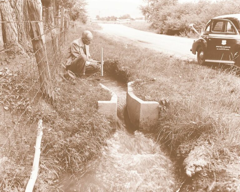
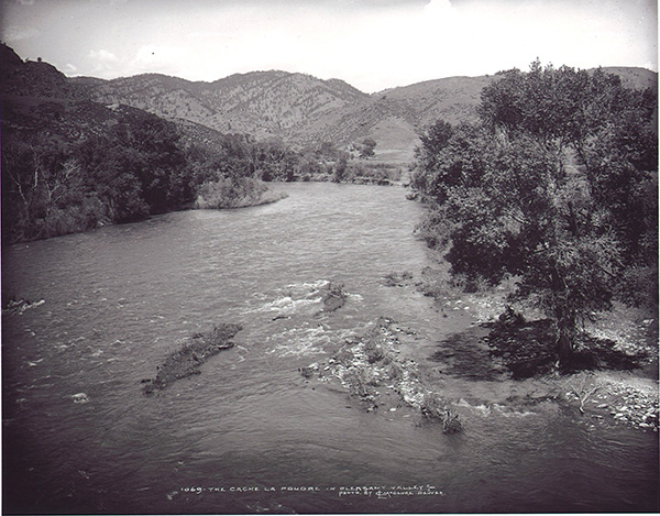
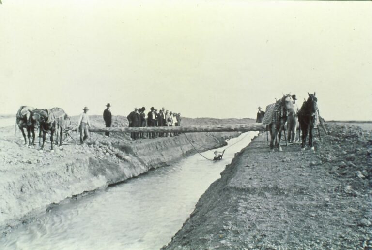
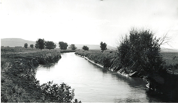
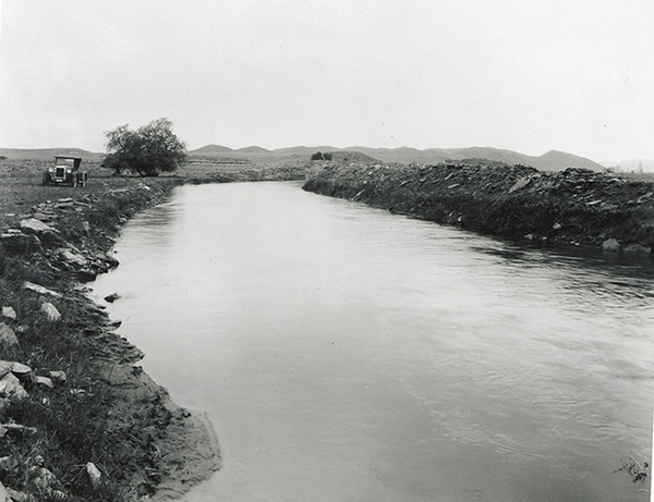
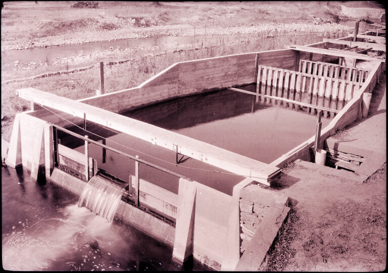
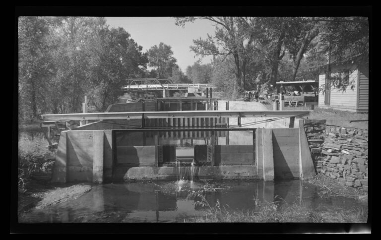
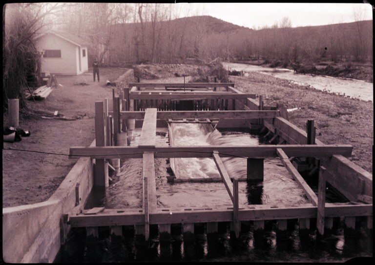
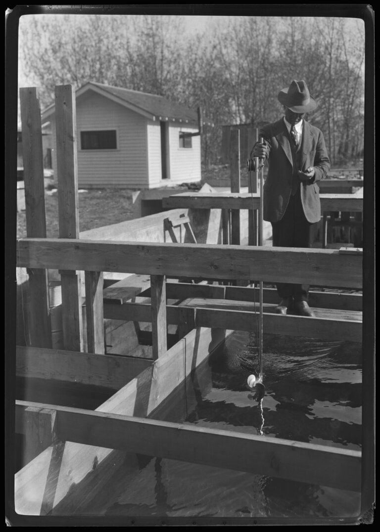
In 1912 Colorado State University (then known as the Colorado Agricultural College) President Charles Lory made an agreement with the USDA that issued-in the construction of a hydraulics laboratory at the University. In the 1920s Professor Ralph Parshall and others built the Bellvue Hydraulic Irrigation Laboratory located north of Fort Collins on the Cache la Poudre River near Bellvue, Colorado. This real-world outdoor laboratory allowed Dr. Parshall to develop the first accurate measuring flume. For the first time in history, people could accurately measure the volumetric flow rate of water.
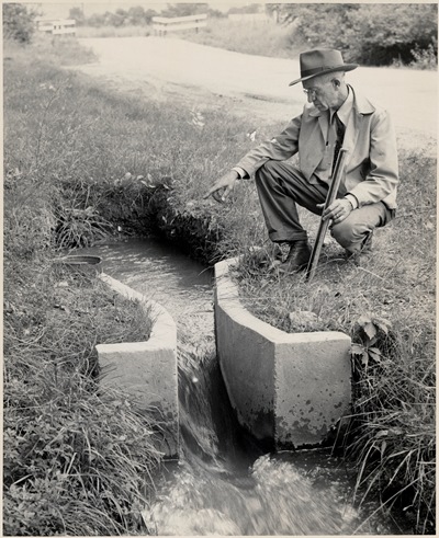
Ralph L. Parshall (1881-1959) was a pioneer in the fields of civil engineering and hydrology, and is best known for developing the Modified Venturi Flume, also known as the Parshall Flume, at the hydrology lab in 1921. Noticing problems with stream flow measurements, Parshall developed the device that, when placed in a channel, measures the flow of the water as it uniquely relates to water depth. The significance of the Parshall Flume lies in the accuracy, simplicity, durability, adaptability, scalability and ease of use such that it became the gold standard for flowing water measurement nationally and globally and is still widely used today.
While Parshall’s flume was his most notable work, he also investigated a number of irrigation-related problems. He designed and built various irrigation recording instruments and meters, such as those used in concert with the Parshall flume, and developed sand traps such as the vortex tube and riffle deflector. Parshall participated in surveys and planning for the Colorado-Big Thompson Project, and during the 1940s was survey supervisor for an investigation of snow measurement methods and work relating water content of snowpack to irrigation water supply.
(Source: CSU Water Resources Archive)
Accessibility
Private Property (Tour Request Available Soon!)
Wayside Sign
Sign GPS: 40°37’48.9″N 105°10’01.3″W
Directions
The laboratory is located on private property, not accessible to the public. The wayside interpretive sign can be viewed from the Poudre Trail, near where the trail crosses Rist Canyon Road in Bellvue, CO. Sign is located on north side of trail, right before the bridge. By car: From the intersection of County Road 54G and Overland Trail in LaPorte, head west on 54G for 1 mile. Turn west (left) on Rist Canyon Road for one mile to the entrance of Watson Lake. Turn right and park immediately at the lot near Rist Canyon Road. Walk back east across the 2 pedestrian bridges to view the site. CR 54G can also be accessed from Highway 287. Site is often hidden in summer by thick vegetation.
