Arapaho Bend Natural Area – 3600 S. County Rd 7, Fort Collins, CO 80528
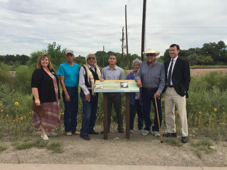
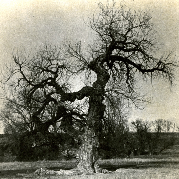
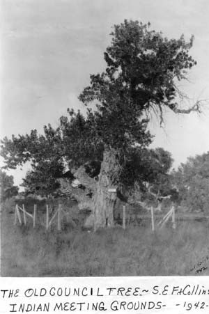
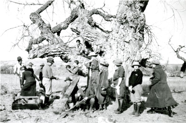
Former meeting place of the Northern Arapaho, Cheyenne and others, the Council Tree itself has been gone for some time, but the area is still a culturally and historically important place. A fascinating local landmark, the wayside interpretive sign can be viewed from the Poudre Trail, just north of the Strauss Cabin.
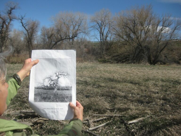
“In 1860, a massive cottonwood tree stood in a broad, lush meadow near the Cache la Poudre River’s banks and served as a meeting place for Chief Friday and his band of Northern Arapahoes. It would later become a symbol to white settlers of Native American life, and known to them as the Council Tree. Also in 1860, George Robert Strauss settled about a thousand feet downstream from the tree. At that time, the area along with all the land between the Arkansas River and the North Platte still belonged to the Northern Arapaho as determined by the 1851 treaty.” Read more about this Council Tree site from the Arapaho perspective at https://strausscabinandcounciltree.weebly.com/council-tree.html
Accessibility
Not accessible – Please view from trail.
Wayside Sign
Sign is on Poudre Trail, north of Strauss Cabin.
Directions
This area is owned by the City of Fort Collins Natural Areas, but due to its location and flood conditions in the spring and summer, it is not accessible. View the area safely from the paved trail to the east of Rigden Reservoir. Access the trail from the Arapaho Bend Natural Area. Several old cottonwood trees line the I-25 corridor and were present when the Council Tree still stood in this area as seen in historic photos. Oral histories and historic maps show that the Council Tree grew approximately 100 yards northeast of the Strauss Cabin, between the railroad tracks and the Poudre River / present-day I-25.
