40.599944, -105.083861
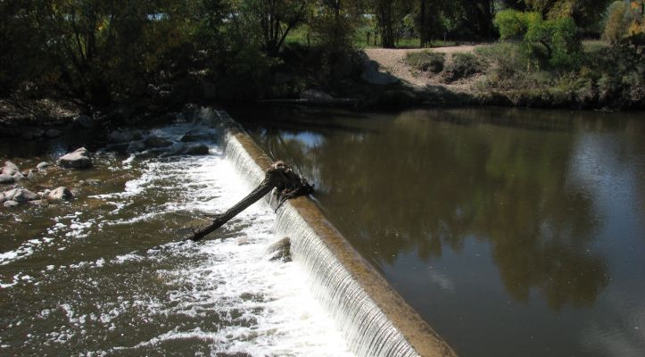
The history of the Josh Ames Ditch began in 1862 when the Ames brothers traveled to what is now the Fort Collins area with members of the Coy family, where the Ames brothers began a farm and homestead and eventually dug a ditch to provide irrigation to their crops in 1867. The remains of a second section of the ditch, built in 1966, can viewed from a Heritage Area interpretive sign, located .2 miles west of Shields St., on the Poudre Trail. The 1966 diversion structure was removed in 2013 for an ecological restoration project in a natural area to take place.
Accessibility
Accessible.
Wayside Sign
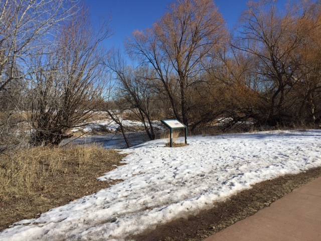
Sign is located where the 1966 diversion structure was removed in 2013. The sign is located on the Poudre Trail .2 miles west of N. Shields St.
GPS for sign: 40°36’16.2″N 105°05’57.7″W
Directions
Poudre Trail – From Lee Martinez Park, head north to reach the Poudre Trail. You can view the remains of the 1867 portion of the Josh Ames Ditch by crossing the McMurry Bridge or the Hickory Trail bridge into the Salyer Natural Area. The remains of a second section of the ditch, built in 1966, can viewed from a Heritage Area interpretive sign, located .2 miles west of Shields St., on the Poudre Trail.


