40.442444, -104.848056
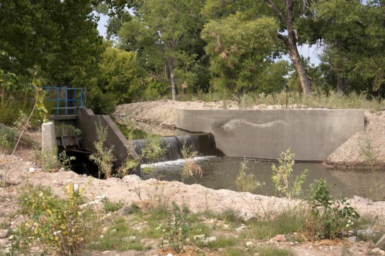
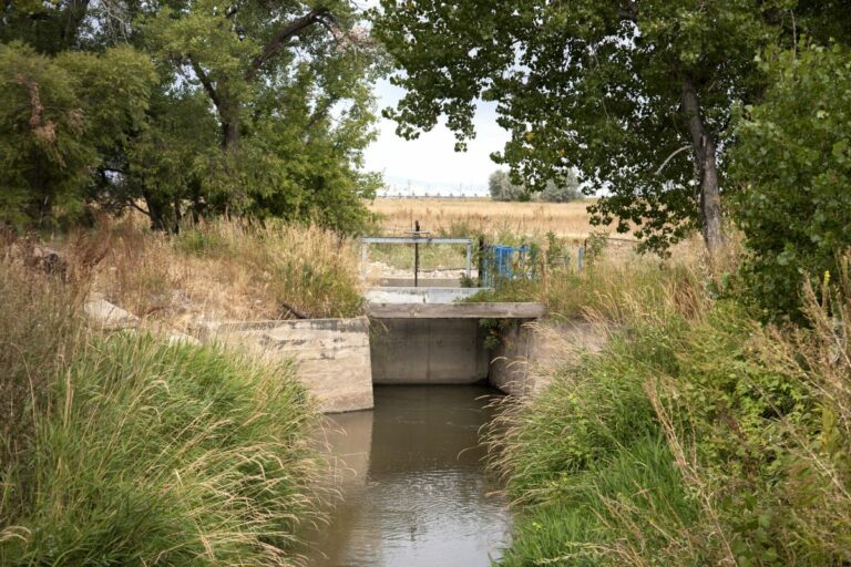
Built in 1867, the Jones Ditch is among the earliest ditches still operating today. Only three miles in length, it supplied water for domestic use and irrigation.
Canals like this one were typical of the irrigation structures built in the 1860s. Though short and simple, they contributed significantly to the agricultural development and economic growth of Larimer and Weld Counties. They made possible the production of corn, beans, alfalfa, potatoes, beets and other crops.
Accessibility
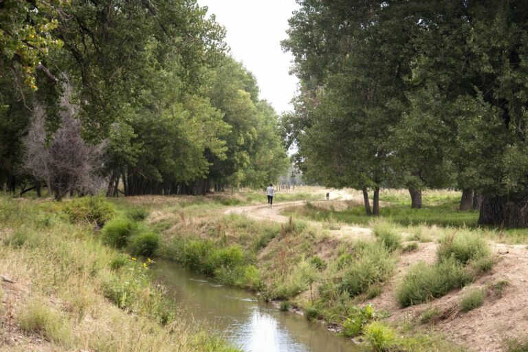
View from trail.
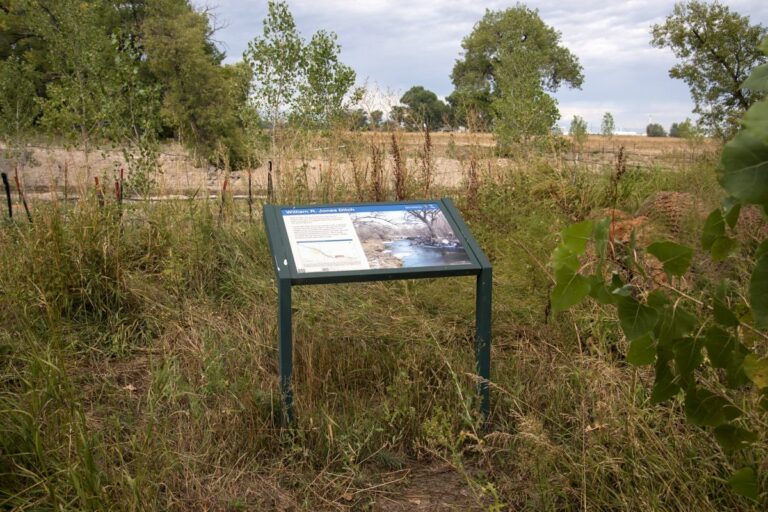
Wayside Sign
Sign GPS: 40°26’33.9″N 104°50’51.7″W
Directions
The headgate of the William R. Jones Ditch is viewable from the Poudre River Trail. The closest trailhead is the Poudre Learning Center – 8313 W. F St in Greeley. From the PLC, head west for 2.1 miles on the Poudre River Trail to the headgate. After a small spillway to the west with a Heritage Area interpretive sign for the ditch, the trail crosses the ditch itself. The headgate can be viewed to the NW.
