Laporte to Downtown Fort Collins
LOCATION
Laporte and College Ave
DISTANCE
5.70 Miles
ROUTE DESCRIPTION
Laporte and historic northwest section of Fort Collins. Excellent opportunities to explore exciting historic resources associated with Heritage Area themes – water law and irrigation. Ends at Old Town Fort Collins.
DIRECTIONS
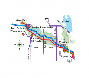
At Laporte turn right (south) at CR 54 G at intersection with Overland Trail Rd. Drive South on Overland Trail to Lions Park 0.30
FEATURES
Bridge East of Lions Park
The Farm at Lee Martinez Park
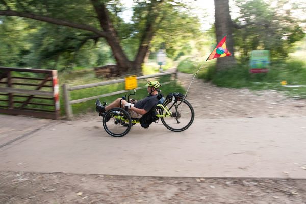
Poudre River Trail
SIGNIFICANT HISTORIC STRUCTURES
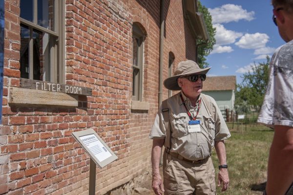
Fort Collins Water Works
Arthur’s Ditch: Built in 1869, one of the oldest irrigation ditches on Poudre, called “Town Ditch”.
MAP PHOTOS
